
Every address keeps a record. Read it before you sign.
One US address goes in. Out comes a graded screening across ten layers of public record — floodplain, wildfire, radon, wetlands and cleanup sites among them — where every entry is dated, traced to its federal source, and paired with the follow-up it suggests.
Screen an address
Read a complete screening first. Then decide.
A finished screening for a real address, open to everyone: the overall reading, ten graded layers, the evidence behind each, and the next steps. Yours follows the same form.
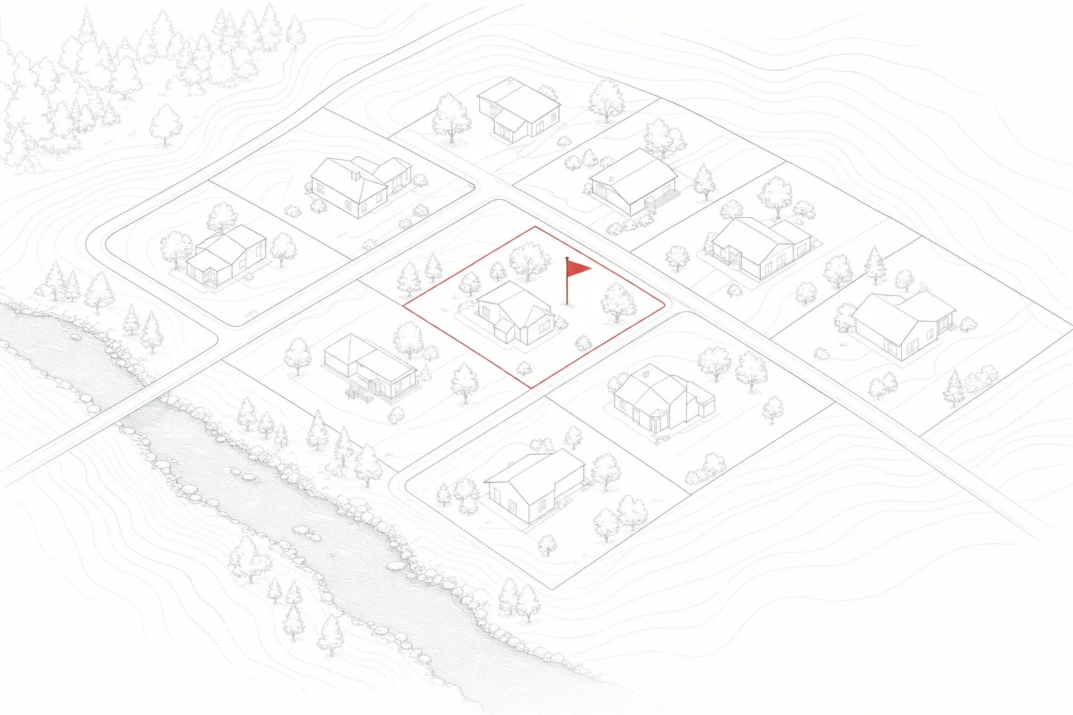
One address, read across ten layers of public record
Floodplain standing
Where the parcel sits on FEMA’s effective flood maps — hazard-area status, zone designation, plus site elevation and the nearest mapped watercourse.
Wildfire hazard
Insurers price from this data; here you read it first. Site-level hazard classing from the US Forest Service, set against how exposed the wider community is.
Seismic ground motion
USGS design-level shaking values for the site and the catalog of significant earthquakes recorded within a hundred kilometres.
Slope & landslide record
Inventoried landslide events and susceptibility mapping around the parcel, stated together with the scale limits of those maps.
Wetlands & mapped waters
Whether the National Wetlands Inventory charts anything on the lot or beside it — and if so, what kind and how far away. A pond can be a backdrop or a building restriction; the map says which.
Cleanup & Superfund sites
Superfund entries, brownfields and hazardous-waste cleanups drawn from EPA registries. We search fixed distances around the home and report every hit by name, status date and separation from the address.
Industrial neighbours
What the neighbourhood does for a living: facilities on the toxics-release register, underground tanks with leak histories, permitted industrial operations. Each entry links back to its record.
Radon standing
The county’s EPA radon classification — delivered with the agency’s own caveat that only an in-home test settles the question.
Drinking water systems
Who supplies the tap water, and how those systems have performed against EPA rules lately. Addresses outside any public system get a private-well note and testing guidance instead.
County disaster record
How often the county has landed in a federal disaster declaration over fifteen years. Storms, floods, fires, freezes — a pattern insurers have long since priced in.
Four grades in plain language. No score out of a hundred.
The overall reading is assembled from layer grades you can open and inspect. Open a flagged layer and you find the measurement behind it, a dated primary source, a stated confidence level — and an equally plain note on the limits of what that source knows.
An entry with real weight sits in the record — the kind that can bear on your decision, on insurance, or on how the land can be used. What to do about it, and by when in your contingency window, is written on the layer.
Something sits in or near the picture, but the public record alone cannot settle whether it matters here. The layer names which professional can settle it, and spells out what to ask them.
The sources we read, within the coverage they declare, show no entry for this layer. We write it exactly that way — a quiet record is not a certificate of safety.
Perhaps the area was never mapped, perhaps the map is too coarse to speak honestly, perhaps the source did not respond. The layer is graded as missing — a gap is reported as a gap, never as good news.
Four minutes from address to reading
Type the address, pick the match
We resolve what you type against official records and show you the candidates. You choose the exact property — nothing ambiguous goes forward.
Preview the coverage first
Which of the ten layers carry data for this spot is shown before money changes hands. When the picture is too thin to be useful, the order stops there.
One payment of $18
No account, no subscription, no add-ons. The flat price buys the web screening and its PDF, a share link you can revoke, and a second run of the data any time in the first thirty days.
Open the reading, follow the steps
The summary leads with the grade counts. Behind it, each layer carries its evidence, and the next steps are sorted by where you stand — offer, inspection window, or closing.
A screening you can argue with — because it shows its work
Gaps stay visible
Where a source doesn’t reach, the layer reads “no data” — in the summary, in the counts, in the PDF. We would rather show you a hole than paint over it.
Made to be forwarded
An agent, an inspector, an insurance broker — any of them can open the screening from a link, with no account on their side, and you can switch the link off at any point. The PDF travels just as well.
Sourced, dated, checkable
Take nothing on faith. Any line that matters carries the name of its government source, the publication date and scale of that data, and how confident we are in the reading.
Written for a deadline
Your calendar shapes the output. Some items belong before the offer, some are orders to place while the inspection window is open, some must be resolved before contingencies lapse — each finding is filed accordingly.
Four moments the record matters most
Inside the inspection window
Contingency clocks reward preparation. The screening turns yours into a short list: which tests to order, which documents to demand, in what order.
Before the offer
A floodway, a slope no insurer will touch, a cleanup site over the fence — every one of these costs least to discover while your name is still off the paperwork.
Agents, inspectors, brokers
A second opinion your client can open from a link — sources attached, nothing to install, nothing to log into, revocable when the deal closes.
Raw land & building lots
Wetland edges, flood fringes and slope records decide what a lot will ever let you build. Read the constraints while walking away is still free.
one address · one payment · no subscription
- All ten layers — never sold piecemeal
- Overall reading with per-grade counts
- Evidence and primary-source links on every layer
- The questions to put to seller, agent and insurer
- Next steps arranged around offer, inspection, closing
- PDF download, plus a view-only link you can revoke
- One free re-run of the data within 30 days
Your payment comes back in full — no request needed — should the coverage your preview promised turn out to be undeliverable.
Asked before buying
Is this an inspection or a Phase I assessment?+
Neither. A screening reads public government records about the location; nobody visits the property, samples soil or water, or examines the structure. It works earlier in the process, and for less: it shows whether this address gives you a reason to order a radon test, a geotechnical review, a Phase I ESA — or none of them.
Which records do you read?+
Federal primary sources: FEMA’s effective flood maps and disaster declarations, EPA registries for Superfund, brownfields, hazardous-waste handlers, toxics releases, storage tanks and public water systems, seismic and landslide data from USGS, the National Wetlands Inventory kept by the US Fish & Wildlife Service, US Forest Service wildfire hazard data, and the Census Bureau geocoder. Every layer names the source and the data date it was read from.
What arrives for $18?+
One US residential address, screened in full. Ten layers of federal record — EPA, FEMA, USGS, USFWS and the USDA Forest Service among the sources — each graded, each backed by measurable evidence and a primary-source link, with per-grade counts rolled into an overall reading. The questions worth asking come attached, as do next steps sorted by where you are in the transaction. Delivery is a web page, a PDF and a share link you control, and the data can be re-run once inside the first thirty days.
How long does a screening take?+
A few minutes, in the usual case. Feel free to close the tab — an email carries the link, and the link stays live. A failure on our side refunds itself.
Does “nothing found” mean the property is fine?+
No — it means the layer came back empty in the sources we read, within the coverage those sources declare. Government maps have blind spots, coarse scales and revision lags; that is why every layer spells out what its source cannot rule out. We never translate a quiet record into the word “safe”.
What happens when data is missing for my address?+
The coverage preview answers that before you pay: it lists which layers hold data here, and an order for a location with too little coverage is declined rather than filled. Should one source drop out while your screening is being built, its layer is graded “no data”. And a screening that cannot match its own preview triggers a refund on its own.
Which addresses can you screen?+
Residential addresses across all fifty states and DC, provided official records can pin the address down. Rural roads and brand-new construction sometimes defeat the geocoder or fall outside mapped coverage; the preview stage exists to say so openly, instead of letting a gap-ridden screening reach checkout.
Can my agent or inspector read it too?+
Yes. Generate the viewing link inside your screening and pass it along. Whoever opens it signs into nothing and learns nothing about you — not your email, not how you paid. The link dies the moment you revoke it, and the downloadable PDF holds the same content.
Reading the record yourself
The record exists either way. The only choice is when you read it.
$18 and a few quiet minutes now — or the same facts arriving later, attached to an insurance quote or a contractor’s invoice. Screen the address while you can still walk away.
Screen an address — $18