
How Close Is Too Close? Superfund Sites and the House You Want
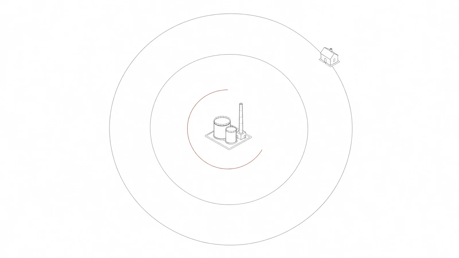
No federal rule defines a safe radius around a Superfund site, and distance on its own is a weak way to judge one. A capped, monitored landfill half a mile from the front door can be a footnote; a solvent plume a quarter mile away, drifting toward the property in groundwater, can be the entire story. For a specific house, four things decide the matter: where the site stands in the National Priorities List lifecycle, what the contaminant is and how it could reach people, which direction groundwater carries it, and what restrictions remain on the land afterward. All four answers are published free in EPA's Superfund site files. This guide shows how to pull them for any address and read them without a consultant.
The problem with a tape measure
"How close is too close" assumes risk falls off evenly in every direction, like ripples in a pond. It does not. Contamination travels along specific routes — groundwater, soil vapor, surface runoff, wind-blown dust — and each route has a direction, a depth, and a speed. Two houses the same distance from a site can face entirely different situations because one sits over the plume and one does not.
The one-mile figure quoted in most articles comes from ASTM E1527, the standard behind professional Phase I environmental assessments. It tells a records researcher how far out to search for federal cleanup sites. It was never a health threshold. Use it the way professionals do: as a way to gather candidates, nothing more. Gather first. Then put each nearby site through the four questions below.
Four questions that do the real work
1. Where is the site in its lifecycle?
Superfund — formally the program created by CERCLA in 1980 — moves the country's most seriously contaminated sites through a long, documented sequence. The National Priorities List holds about 1,300 sites with final listing at any given time, and each one sits at a specific milestone. The milestone changes what a buyer should conclude.
| Milestone | What it means | What it means for a buyer |
|---|---|---|
| Proposed to the NPL | EPA has scored the site and opened public comment | Records are thin; the investigation is just beginning |
| Final NPL listing | The site qualifies for long-term federal cleanup | Read the remedial investigation for contaminants and pathways |
| Record of Decision (ROD) | EPA has selected and documented the cleanup remedy | The ROD names every contaminant and exposure route |
| Construction complete | The physical remedy — caps, treatment systems, extraction wells — is built | Exposure is usually controlled; monitoring continues for years |
| Deleted from the NPL | Cleanup goals are met, or no further federal action is required | Often fine — but check what controls stay on the land |
A site "on the Superfund list" could be at any of these stages. Some have been under active engineering for thirty years with contamination fully contained the entire time. The listing by itself tells you almost nothing; the milestone tells you where to look next.
2. What is the contaminant, and is there a pathway to you?
Risk needs a route. Lead or arsenic bound in soil behind a fence concerns the people who dig in that soil, not a household three streets over on municipal water. Volatile solvents dissolved in groundwater are a different animal: they move, and they can enter homes as vapor. The site's own documents — start with the Record of Decision — name the chemicals, the affected media (soil, groundwater, sediment, air), and the exposure routes EPA evaluated.
For a health-focused translation, look to the Agency for Toxic Substances and Disease Registry (ATSDR). Many NPL sites carry an ATSDR public health assessment — a document that answers, in ordinary sentences, the two questions the technical file buries: has anyone living nearby been exposed, past or present, and by which route. When one exists for the site near your house, it is the most readable document in the entire file.
3. Which way is the groundwater going?
Groundwater flows downhill in slow motion, and dissolved contamination travels with it as a plume. Direction is everything. A house a quarter mile downgradient of a source — meaning the water flows from the site toward the house — deserves real attention. The same house a quarter mile upgradient usually faces nothing from that pathway at all.
The remedial investigation for any groundwater site includes plume maps with flow arrows; look for the figure pages near the end of the document. Then ask where the house's water actually comes from. A monitored public system stands between you and the aquifer. A private well does not, and a well anywhere near a mapped plume moves water testing to the top of the pre-offer list.
4. What stays on the land after the cleanup?
Modern cleanups often leave some contamination in place — safely, under engineered caps and legal restrictions. The restrictions are called institutional controls: environmental covenants, deed notices, prohibitions on drilling wells, requirements for vapor mitigation in new construction, limits on excavation. They are recorded against specific properties and bind future owners. That includes you.
Where waste remains above levels safe for unrestricted use, EPA re-examines the remedy every five years. The five-year review is the plainest status report in the whole record: it says whether the remedy still protects people and flags anything drifting off course. Ask your title company to search for environmental covenants, and read the latest five-year review before you accept a "cleaned up" description at face value.
Pulling the file for any address
The record is free, and working through it takes an evening, not a week.
- Open EPA's Search for Superfund Sites Where You Live, selecting the state or zooming the map view to the address.
- List every site within about a mile. For each, open the site profile and note the current milestone, the contaminants of concern, and whether groundwater is affected.
- Follow the page's link into SEMS — the Superfund Enterprise Management System, EPA's working inventory. SEMS includes thousands of sites that were assessed and archived without ever reaching the NPL, marked "no further remedial action planned." An archived entry means the site did not qualify for the federal list. It is not a certificate of clean soil.
- For a wider map that adds brownfields, hazardous-waste corrective actions, and leaking storage tanks, run the same address through Cleanups in My Community.
- Download the most recent five-year review for any site that concerns you, and note the remedial project manager named on the profile. Their contact details are public, and answering resident questions is part of the job.
What "deleted from the NPL" does and does not mean
Deletion is the final milestone. EPA, with the state's concurrence, determines that cleanup goals have been met or that no further federal response is needed, publishes the decision in the Federal Register, and removes the site from the list. Portions of large sites can come off separately while work continues elsewhere — a partial deletion.
What deletion is not: a declaration that the land is pristine. Many deleted sites still carry caps, monitoring wells, groundwater-use restrictions, and ongoing five-year reviews, because waste remains in place at levels that are safe only under those conditions. Deleted sites are routinely and successfully redeveloped — into parks, retail, housing — and that is the program working as designed. A buyer's job is narrower: know which conditions attach to the parcel in question, because every one of them survives the sale.
Property values, without the spin
The economics deserve an honest summary. Researchers have studied home prices near Superfund sites for decades, and the findings span a wide range: some rigorous national studies detect little or no measurable effect, while site-level studies find discounts that commonly land in the low single digits and run higher near large, visible, heavily publicized sites. Three patterns repeat across the literature. Prices dip most around discovery and listing, when uncertainty peaks. Effects fade quickly with distance, often within a mile. And values tend to recover as construction completes and the site moves toward deletion.
Two practical notes ride along. Whatever risk exists here is not one a typical policy absorbs: pollution damage sits squarely among the exclusions in standard homeowner's coverage. And most state seller-disclosure rules reach only what the seller actually knows — the federal record does not depend on that, which is the best argument for reading it yourself.
Vapor intrusion, briefly
One pathway earns its own section because it is the main way a groundwater plume touches a house that drinks city water. Volatile chemicals — chlorinated solvents such as TCE and PCE lead the list — evaporate out of contaminated groundwater and migrate upward through soil, entering basements through cracks and utility penetrations. EPA keeps a plain-language primer at epa.gov/vaporintrusion.
Three facts keep it in proportion. The site file settles the candidacy question — without a plume of volatile chemicals above or near the house, this pathway does not exist. Whether it is happening can be measured, with samplers placed beneath the slab and in the living space. And when it is happening, the cure is well understood: a depressurization system under the slab — hardware from the same family that handles radon — and the bill for installing one rarely clears a few thousand dollars. If a nearby site file mentions vapor investigations or mitigation systems in the neighborhood, ask whether the specific house was ever sampled — and get the results in writing. The mechanics overlap enough with radon that our guide to radon zones versus in-home radon tests makes useful companion reading.
Before the offer: what to ask and verify
- Where does the house get its water — a public system, or a well of its own? For a well: the date of the most recent test, and the list of what it screened for.
- Does the deed or title commitment show environmental covenants, groundwater restrictions, or recorded notices? Ask the title company to check for them specifically.
- Has the house, or any nearby home, been tested for indoor air or fitted with a vapor mitigation system?
- Does the plume boundary mapped in the remedial investigation include or approach the parcel?
- What was the parcel before it was a house — any commercial, agricultural, or industrial past?
- Has the seller ever received an environmental notice, sampling request, or access agreement from EPA or the state?
Sellers answer "I don't know" to most of these — and usually they mean it. That is exactly why the federal record exists. If you are assembling a fuller pre-offer review, our weekend environmental screening walkthrough places this layer alongside the other nine.
One layer of ten
Superfund proximity is the hazard buyers fear most and, statistically, the one that touches the fewest homes. Floodplain standing affects far more American addresses and is easier to misread — our guide to what a FEMA zone letter actually means covers that layer. Home RedFlags screens any US address against EPA cleanup and Superfund records — with the distance, status, and source date behind every finding — alongside wildfire, flood, wetlands, radon, drinking water, and four more layers of federal public record, each graded in plain language. One address, $18, sourced and checkable. Open the sample screening before you decide.
A screening reads ten layers of public record for it — flood, wildfire, radon and Superfund among them — and grades each one in plain language, sources dated and linked. $18 once. No subscription.
Start a screening